
NORTHWEST DISTRIBUTORS
Washington Ghost Towns/Sites: Then and Now
Washington Ghost Towns/Sites: Then and Now
Couldn't load pickup availability
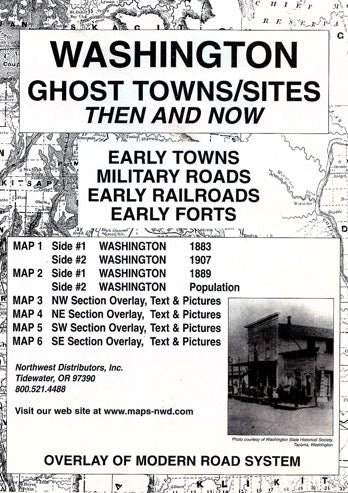
The Washington Ghost Towns/Sites: Then and Now package features a transparent overlay printed from a modern Washington road system and placed over the four sections of the 1889 map of Washington. The purpose is to show the changes in the state over a period of approximately 100 years. Place names and/or early sites may appear on the historical maps but may be absent on the current map. The reader should note that some of the early locations were moved from time to time while others changed their names or simply failed. The reader should be reminded that some of the early place names might have been a post office operated in a ranch house or an early stage station as well as town sites. Some locations were moved from time to time while others changed their names or simply failed.
Accompanying text with anecdotal stories from the history of each of the four sections of the state appears on the reverse sides of maps #3-6. For example, in the NE section of Washington 1889, Waterville, in western Douglas County, was first known as Okanagan City, then Jumpers Flat (a commentary on claim jumping activities) and finally platted under the present name when a 30-foot well produced water. Douglas County reported 200 souls in 1910 while nearby Orando boasted 50 persons.
While perusing and studying the maps in this collection, readers should be reminded of the limitations of early surveyors who most likely used primitive equipment and limited cartographic knowledge. All maps in the Ghost Town series are reproduced from authentic documents on file from various archival collections such as the National Archives, Library of Congress and state libraries.