NORTHWEST DISTRIBUTORS
Montana Gold and Gems Map
Montana Gold and Gems Map
Couldn't load pickup availability
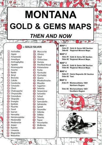
The exploration for placer gold in Montana was first reported in 1852. The usual early methods for removing gold from the gravel — sluice boxes, gold pans and rockers — contributed much wealth to the state of Montana. The areas around Helena, Butte, Missoula and Virginia City were of importance during the “Rush”. Regional maps are included on the reverse sides of maps #1-3 with excellent details of known placer sites. Map #5, side one is a wealth of information concerning placer sites of both Montana and Idaho as they were mapped in 1891.
This package is a comprehensive collection of maps intended to assist in locating gem sites. Besides gold and silver, locations for agates, amethyst, azurite, chert, fossils, garnet, jasper, malachite, olivine, opal, petrified wood, pyrite, quartz, sapphire and topaz can be located — just to name a few of the 63 gem site locations included! All maps in the collection are in packages measuring 6.5″ by 9.5″. The very readable maps measure 17-1/2″ by 23″ when unfolded.
Share

Subscribe to our emails
Be the first to know about new products, classes and exclusive offers.

