NORTHWEST DISTRIBUTORS
NEW MEXICO GHOST TOWNS/SITES: THEN AND NOW
NEW MEXICO GHOST TOWNS/SITES: THEN AND NOW
Couldn't load pickup availability
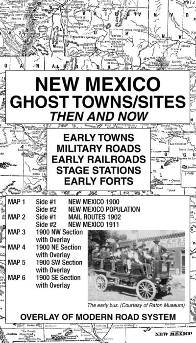
Accompanying text with anecdotal stories from the history of each of the four sections of the state appears on the reverse sides of maps #3-6. For example, White Oak, located on the SE section of the 1900 map in the central portion of Lincoln County, was the end of the line for the El Paso North Eastern Railroad. This site reached a population of 1,000 persons in 1884 but declined to only 59 persons in 1930. Additionally, Folsom, located in the NE Section, was first known as Caputien. it was dubbed “Ragtown” in the beginning because all stores and residences were housed in tents.
While perusing and studying the maps in this collection, readers should be reminded of the limitations of early surveyors who most likely used primitive equipment and limited cartographic knowledge. All maps in the Ghost Town series are reproduced from authentic documents on file from various archival collections such as the National Archives, Library of Congress and state libraries.
Share

Subscribe to our emails
Be the first to know about new products, classes and exclusive offers.

